
Plan the roof view
Before a flight, we confirm property authorization, safe launch and landing space, weather, nearby operations, and any local airspace or site restrictions that apply. The route should capture the roof field, perimeter, curbs, and difficult corners without interfering with people or equipment. A windy day, low cloud, rain, or poor visibility can make a flight unsafe or limit image quality. Inglewood's coastal plain has marine air and frequent short-distance changes in cloud and humidity, so we check actual conditions rather than assuming a clear view from a nearby station.
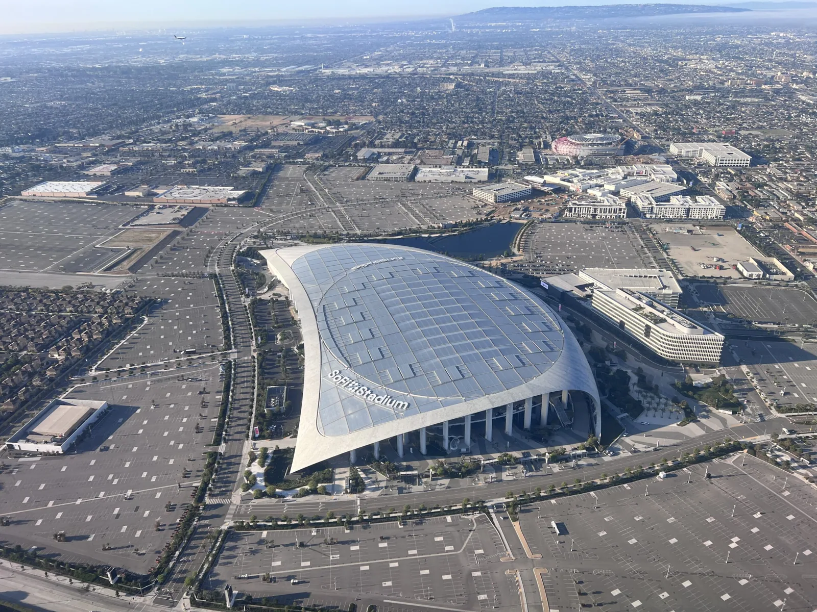
We plan images around the question the owner needs answered. A large open field may need an overlapping grid. A parapet or mechanical area may call for oblique views that show a termination or curb. The route can also capture a suspected ponding zone or a section that could not be reached on a ladder. We record the date, roof zones, and access limits. A hands-on inspection then checks details the camera cannot touch, while a condition report organizes observations for follow-up.
Read visible conditions
Images can reveal debris, open areas, displaced equipment screens, visible ponding, surface wear, or apparent damage at a seam. They can also show where an access route is blocked or where a roof zone differs from adjacent areas. We compare the images with a roof plan when available and label each view. If the drone shows a suspect opening, we do not declare it a leak without inspecting the membrane and surrounding details. Shadows, glare, moisture, and viewing angle can make a surface appear different than it is.
Inglewood includes commercial and industrial uses, with the Inglewood International Business Park near Century Boulevard. Aerial images still need to be tied to the individual property and its actual operations. We inspect the roof's actual material and details before recommending work. For example, a visible split in a single-ply membrane needs a different repair than a loose metal panel or a failed penetration. A TPO system inspection or perimeter detail review can take the image finding to a repair decision.
Know what the camera misses
Aerial imagery does not show moisture under insulation, seam adhesion, deck condition, or whether a flashing edge is sealed. We may need a hands-on walk, probe, moisture reading, or selective opening. If an image suggests a low area, we compare it with slope and drain elevations before calling it ponding. If the surface has a reflective coating, glare and temperature can affect what appears in a frame. The flight creates a visual record, not a complete roof diagnosis.
For a building with multiple wings, rooftop equipment, or a high parapet, we use a roof-zone map so images correspond to the owner’s maintenance areas. We note any zone not captured because of access, wind, restrictions, or obstructions. A moisture survey may answer a subsurface question after the image review. If the owner needs a broader assessment, we can combine aerial context with hands-on findings and repair history. The final record separates what was visible from what still requires testing. We also compare image dates when a condition has been photographed before. A change in debris, surface appearance, or equipment position can guide the next walk, but differences in sunlight and viewing angle can create a false comparison. We keep the route, time, and roof-zone label with each view so maintenance staff can return to the same general area. That is most useful when the facility has several wings or roof levels and the original observer will not be present at follow-up.
Apply the image to the building
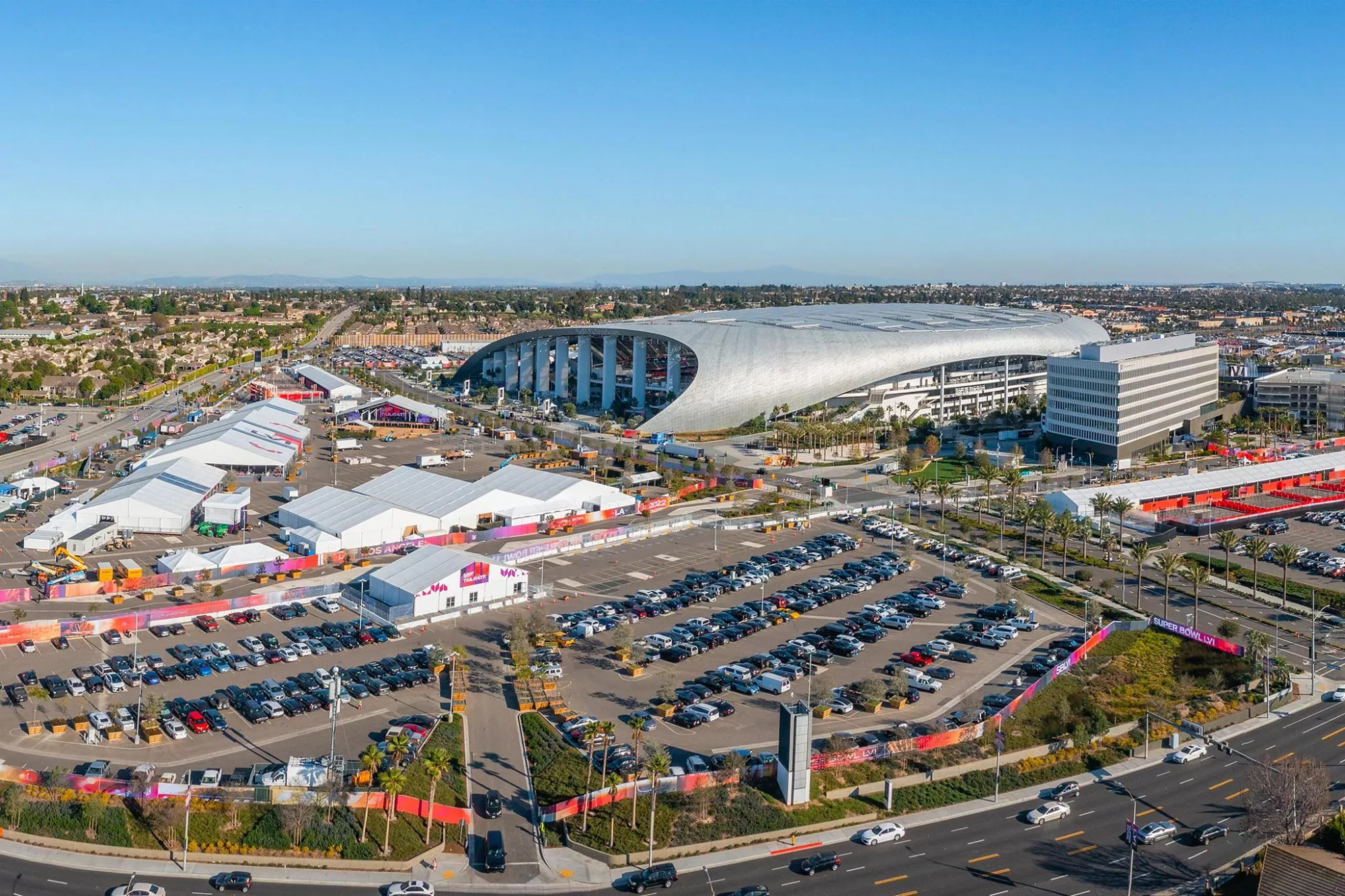
Century Boulevard connects with Los Angeles International Airport, and Inglewood's map also labels Manchester, Prairie, and Crenshaw corridors. A drone plan should account for the property's setting, nearby activity, and any airspace or site limits, not just the roof outline. The route and permissions are checked for each location. We do not assume that an industrial lot, office roof, or retail building has the same launch area or safe clearance.
At an occupied property, the facility director can identify loading periods, sensitive rooms, and public entrances that should stay clear. We coordinate the inspection window and keep people away from the launch and landing zone. Images can help the owner direct a later crew to a specific roof edge or equipment bay, reducing time spent locating a finding. We tie each recommendation to a labeled view and confirm it on the roof where needed. If a view shows a questionable edge, we note whether the image captures the termination or only the roof field. A closer pass may be needed to see fastening or flashing, especially where equipment blocks the approach. That limit is stated with the image rather than buried in a broad conclusion. For a nearby El Segundo building, airspace, access, and operating conditions are reviewed independently.
Turn images into next steps
The deliverable should answer the question that prompted the flight. We can provide labeled overhead and detail images, a roof-zone reference, visible conditions, access limitations, and a list of areas for hands-on follow-up. If the goal is a replacement budget, the camera can document broad layout and apparent penetrations, but it cannot establish assembly layers or quantities hidden below the surface. If the goal is leak tracing, images can help focus the roof walk without replacing interior observations.
We review the images with the facility contact and separate immediate concerns from maintenance items. Where a repair is confirmed, the scope identifies the material, boundary, and tie-in. Where the picture leaves uncertainty, we name the next test. This makes drone imaging useful to owners managing several roof zones, equipment changes, or recurring access limits. Send existing plans, prior inspection photos, and the specific question before scheduling. We can then plan the flight around the needed views and recommend whether hands-on inspection or moisture testing should follow.
Related Roofing Work